Explore the North Bay | Bay Day 2021
Bay Day Regional Spotlight


Brought to you by Facebook, weekly regional spotlights give an in-depth look at the Bay Area. From trails and activities to inspire your Bay Day Trail Challenge adventures, to partners and locations vital to Save The Bay’s mission of creating a healthy and resilient Bay – discover what makes our region so special, and so important to protect.
Don’t forget to follow us on Instagram and Facebook and share your adventure with #BayTrailChallenge #SFBayDay and tag @saveSFbay for the chance to win a $50 REI gift certificate every week in October.
Discovery Guide
Trails
Northern Vallejo to Napa is a 37.2 mile moderate trail that features a river and is great for hiking and cycling. This trail is part of the California Department of Fish and Wildlife’s 1,400-acre Napa Plant Site Restoration Project. As you head into Napa County, the Wetlands Edge Bay Trail provides a bevy of birds and expansive marsh views. Nearby, there is also the Napa Valley Vine Trail, a planned 47-mile walking and cycling path. →
This trail is a 17.9 mile moderately-rated path between Point Wilson and Carquinez Bridge. When completely finished, the trail will one day encircle the entire Carquinez Strait. For now, walk along the Carquinez Strait Regional Shoreline for spectacular views of the Strait with boats cruising through the Strait, trains running along the shore, and hawks flying overhead. This path will also take you into Benicia State Recreation Area, which connects to Glen Cove Waterfront Park. →
Activities
Check out our OLO Ecosystem Explorer video to learn how to identify and explore different types of ecosystems around San Francisco Bay. →
Download our Ecosystem Explorer Guide and explore an open space near you. Use this activity worksheet to make observations, collect evidence of biotic and abiotic factors, and create your own guide.
Meet the Novato Baylands Stewards
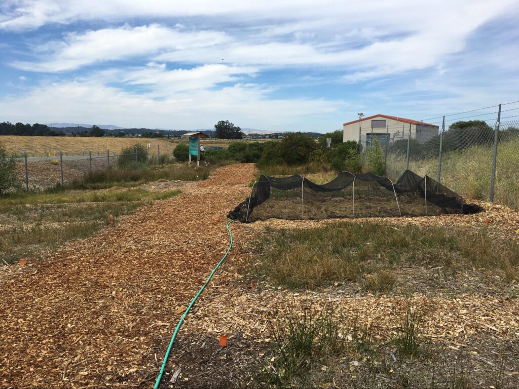
Novato Baylands Stewards (NBS) was founded in 2019 after nearly 10 years of dedicated restoration and stewardship of the Hamilton Wetlands Restoration Project. Previously the Hamilton Army Airfield, U.S. Congress authorized the Hamilton Wetland Restoration Project (including the NAF) in 1999, which in addition to the Bel Marin Keys Wetland Restoration Project comprises 2,600 acres of habitat. When complete, these tidal and seasonal wetlands will better support native bird and animal species, provide shoreline protection, and recreational opportunities to the north bay.
At the helm of NBS is Christina McWhorter, an ecologist and environmental educator with a passion for hands-on work and bringing the community together to restore wetland habitat. Christina founded the Novato Baylands Stewards with the support of MarinLink (a 501c3 organization) in an effort to continue the critical work being done around the Novato Baylands. In addition to Christina, the NBS is made up of two staff members, seasonal work training crews, and a team of dedicated volunteers who are involved in all aspects of restoration work – from vegetative monitoring to invasive species removal to repairing the occasional water control structure.
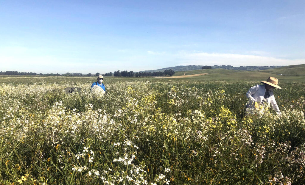
In 2017, the Novato Baylands Stewards joined Save The Bay in our efforts to collect and propagate native species for the Bel Marin Keys Wetland Restoration Project. Their access and knowledge of local plant populations was critical in amassing enough plant material to revegetate the seasonal wetland. Now in the second year of the outplanting phase, we are working under their lead in planting those native species across the 44-acre project site.