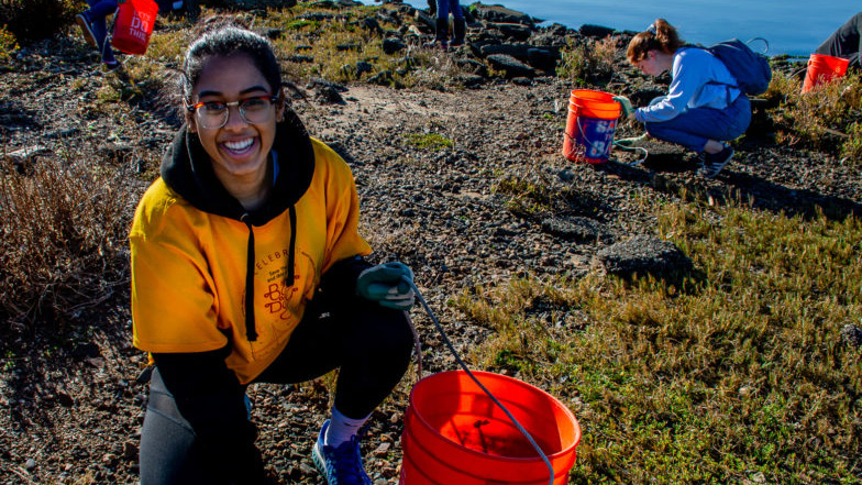
Sign up to participate in the Bay Day Challenge before October 1st. Once you’ve completed your outdoor activities or hit the Bay Trail, submit your miles and activities to the Bay Day RunSignUp portal.
Don’t forget to follow us on Instagram and share your adventure with #BayDayChallenge #SFBayDay and tag @saveSFbay for the chance to win a $50 Sports Basement gift card every week.
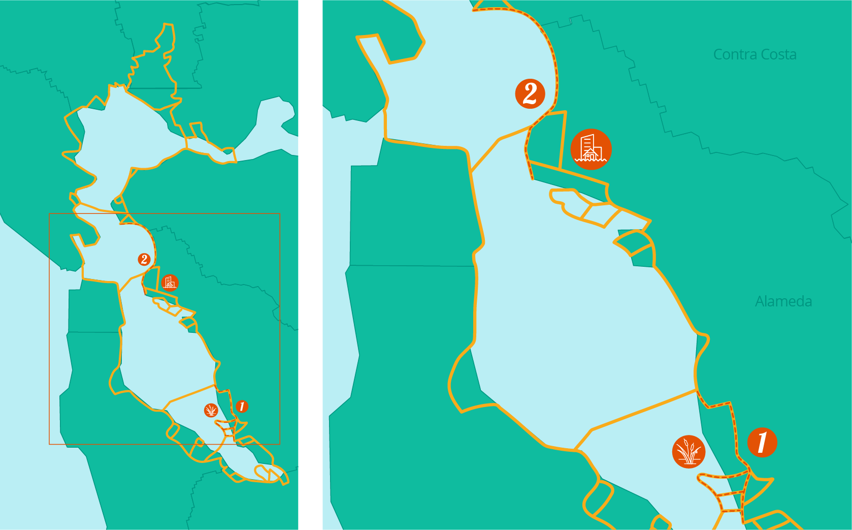
Bay Day Regional Spotlight


Discovery Guide
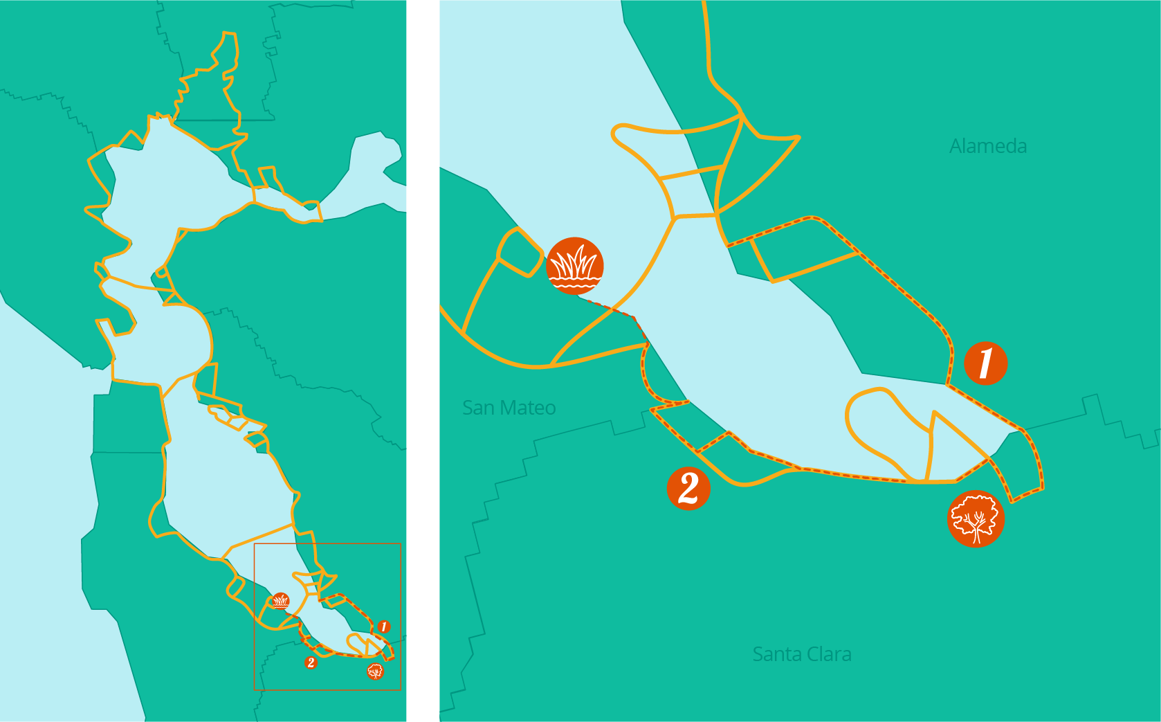
Trails
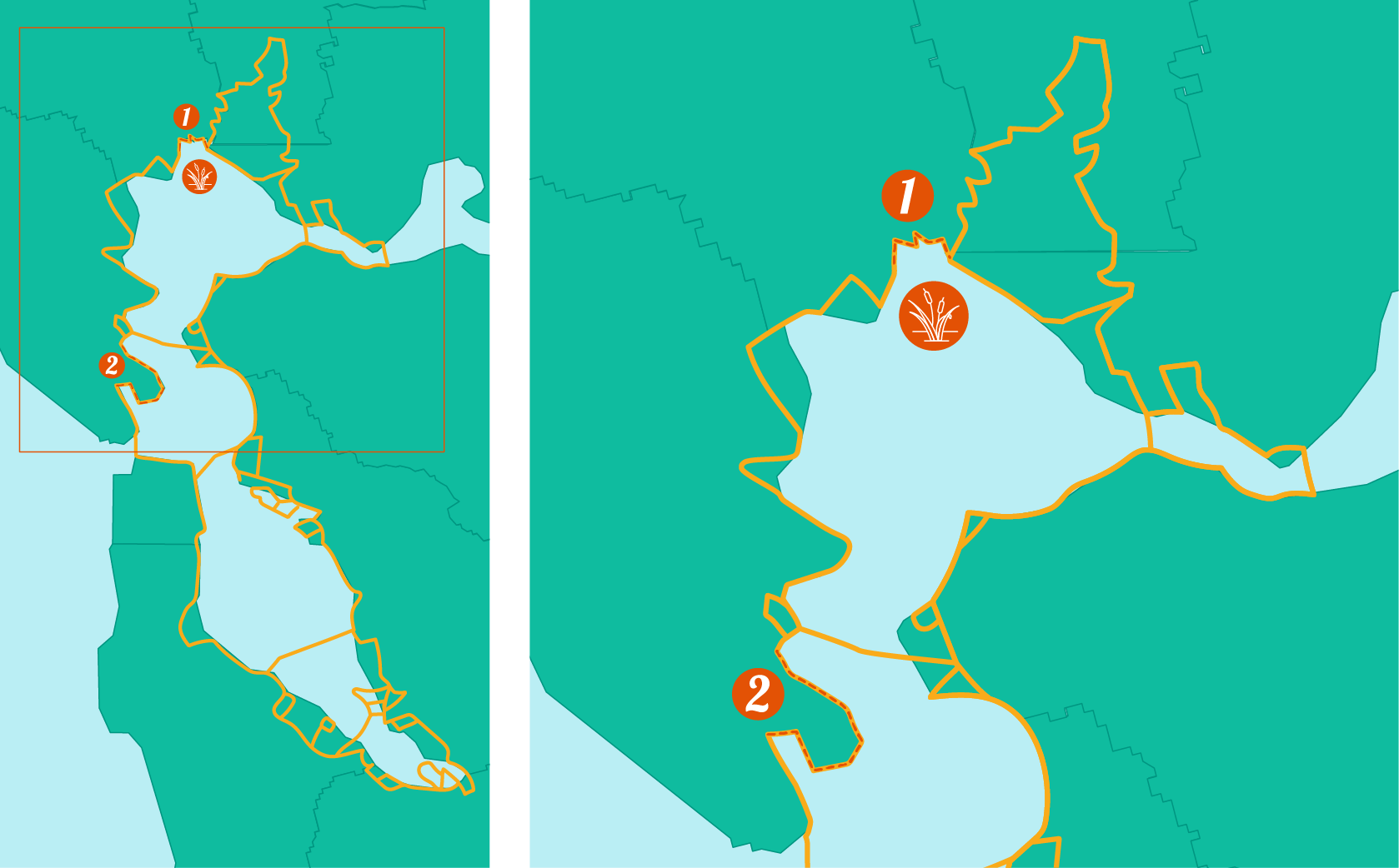
Though this portion of the Bay Trail is not fully complete, there are four segments open to explore the marsh plain, sloughs, and mudflats of the northern San Pablo Bay: the Tubbs Island Trail, Sears Point Bay Trail, Sonoma Baylands Bay Trail, and the Port Sonoma Marina Trail. Note that the Tubbs Island Trail can only be accessed from the eastbound direction on Highway 37 and does not allow dogs. →
Corte Madera, Tiburon & Strawberry Point
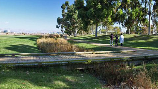
For this trail, bikers can travel south down the Tiburon Peninsula on Paradise Drive for beautiful views of the Bay. Hikers can begin in downtown Tiburon and walk along an old railroad alignment for around 3 miles before reaching Blackie’s Pasture where you can visit the statue of Blackie the horse. For more of an adventure, head to Strawberry Point and hike the Shoreline Spur Trail for even more bayshore views. →
Activities
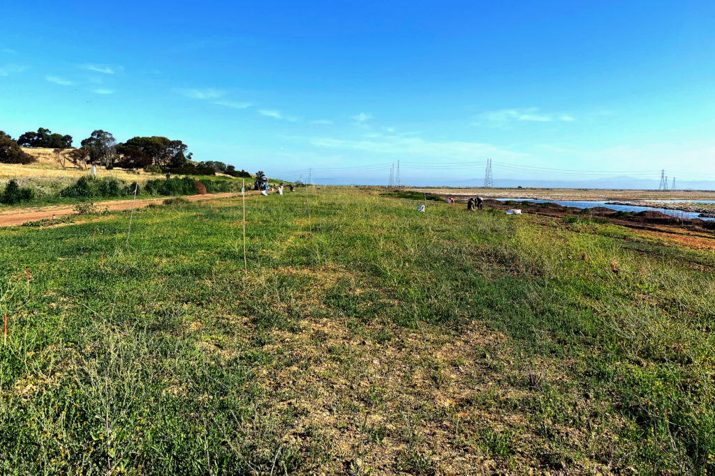
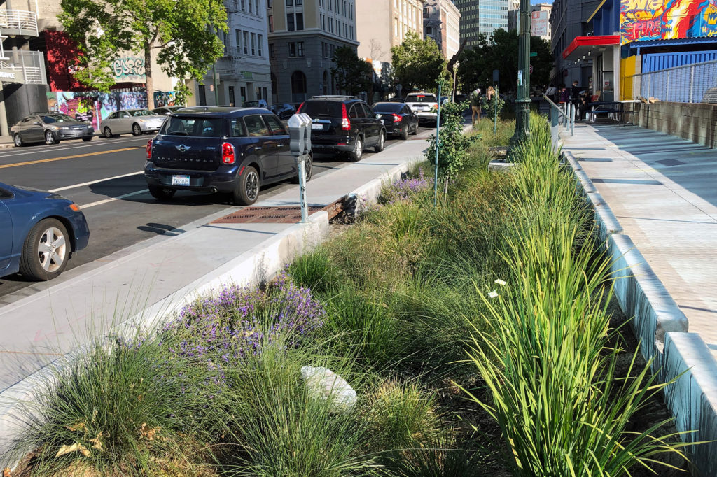
Save The Bay grows between 35-100 thousand plants every year for our restoration projects. This means that every year we get to watch plants move through the beginning of their life cycle. We grow about 30 different native species, each with its own unique life cycle. Come tour our native plant nursery and learn about a very special marsh plant that you can see all over the Bay: marsh gumplant, also called by its scientific name, Grindelia stricta.
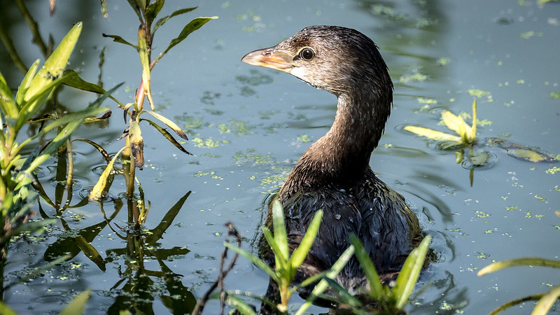
Grab a pair of binoculars and head to Las Gallinas Sanitary District Wildlife Area. Wastewater treatment plants often provide birders excellent opportunities to see marshland species from levee trails encircling ponds, and Las Gallinas includes wildlife viewing as part of its mission. Numerous waterfowl and raptors including Cackling Goose, Erurasion Wigeon, Osprey, Golden Eagle, Ferruginous Hawk, four species of falcon and the Great Horned Owl have been spotted here.
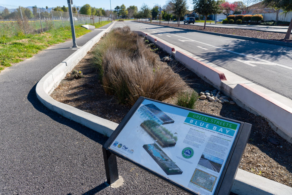
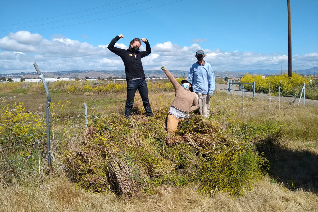
Redesigning Highway 37: A Regional Model for Multi-benefit Climate Resilience
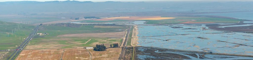
If your Bay Day adventures lead you to the shoreline trails along areas of the recently restored San Pablo Bay National Wildlife Refuge, you’ll definitely rely on Highway 37 to get there. You may not know it, but Highway 37 is actually one of the roads in the Bay Area most threatened by sea level rise. In fact, this narrow and chronically congested highway already suffers from flooding like in 2017 when it was closed for nearly a month after especially heavy rains. With rising tides due to climate change, in the coming years large stretches of this critical connection will be regularly underwater. But if done right, solving these flooding and congestion challenges could also be the key to restoring even more tidal marshes in the north bay – a lot more.
An effort being led by the Sonoma Land Trust is working to redesign Highway 37 to create a win for both the drivers who rely on it, and for the Bay by reconnecting more than 20,000 acres of restorable tidal marsh that are currently cut off by the highway. Ultimately, this effort is working with Caltrans to elevate Highway 37 along a causeway. Doing so will allow for congestion relief and ensure the new road is resilient to rising tides, while also allowing for the full restoration of the San Pablo Baylands.
To achieve these goals, we have to change how we measure the costs and benefits of an infrastructure project. Investing in an elevated Highway 37 is not just a simple road improvement project but is actually a regional model for multi-benefit climate resilience that will help the state meets its goals for using nature to fight climate change. And, since this is one of the largest potential shoreline restoration projects remaining in the Bay, if successful a future Bay Day visit to the area may have even more to offer.